

INDIANA – Government libraries worldwide contain map collections open for public use.
For decades, libraries have been digitizing maps to make them available online. However, many maps are still only available to view in print at the libraries that house them.
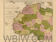
Take a quick peek at the incredible map collections held by government libraries in the United States.
Library of Congress, Washington D.C.:
– On-site: Geography and Map Reading Room.
– Online: LOC Collections with Maps.
Search maps by format, year, date and location.
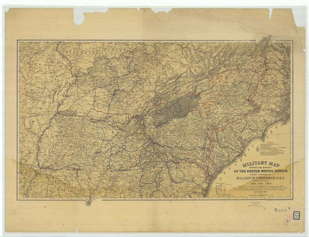
National Archives at College Park, Maryland:
– On-site: Cartographic and Architectural Records.
– Library guide: You Are Here: Maps in the Catalog.
National Oceanic and Atmospheric Administration, Central Library:
– On-site: NOAA Central Library.
– Online: Catalog Search with Resource Type: Maps, Coast Surveys Historical Map and Chart Collection, LibGuides search for maps and U.S. Daily Weather Maps (1871-2002).
United States Geological Survey:
– On-site: USGS Library in Reston, Virginia; Denver; and Menlo Park, California.
– Online: Catalog Search with Resource Type: Maps and Topographic Maps.
National Park Service:
– On-site: NPS Library Information Center.
– Online: GIS, Cartography & Mapping.
National Agricultural Library:
– On-site.
– Online: Catalog Search with Resource Type: Maps.
National Transportation Library:
– Online: Transportation Maps and Geospatial Data and Geospatial Application and Map Gallery.

