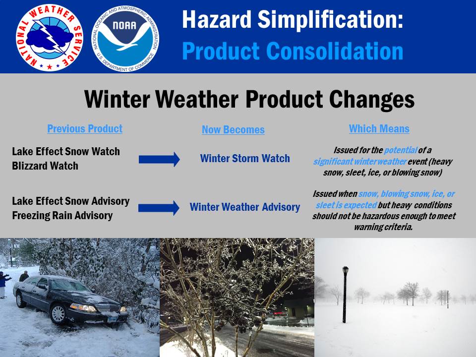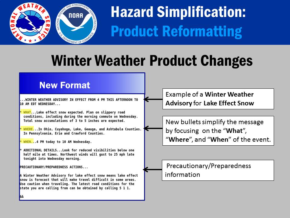
INDIANA — As colder weather sets in across the country this fall and winter, the National Weather Service (NWS) is rolling out a simplified system for cold weather alerts. The updates are part of the NWS Hazard Simplification Project (HazSimp), designed to streamline weather messaging and help the public understand essential weather warnings.
The new system, which officially takes effect this season, consolidates several types of cold weather alerts into more straightforward categories, aiming to improve clarity and reduce confusion.
Key Changes to Cold Weather Alerts:
1. Freeze Watches and Warnings
In previous years, the NWS issued separate “freeze” and “hard freeze” alerts. This year, the agency combines both into a single freeze alert to cover all sub-freezing temperatures that could impact crops, plants, and outdoor activities.
- Freeze Watch: Issued when freezing or sub-freezing temperatures are expected in the next 24-36 hours.
- Freeze Warning: Issued when freezing or sub-freezing temperatures are currently or expected within 24 hours.
2. Extreme Cold Alerts
The NWS is also simplifying extreme cold warnings, which are critical for regions that experience dangerously low temperatures.
- Extreme Cold Watch: This watch is issued when temperatures of -25°F or colder are expected in the next couple of days.
- Extreme Cold Warning: This alert is issued when temperatures of -25°F or colder are occurring currently or are expected to arrive in the next few hours. It will be issued regardless of wind chill.
3. Cold Weather Advisories
Instead of issuing separate wind chill advisories, the NWS will now use a broader Cold Weather Advisory for conditions that are still dangerous but may not yet meet warning criteria.
- Cold Weather Advisory: This advisory is issued when temperatures of -15°F to -24°F are occurring or expected in the immediate future, signaling significant cold that could affect vulnerable individuals or outdoor activities.

Why the Changes?
These changes aim to simplify and clarify the language used in cold weather alerts. For years, the NWS has used multiple categories for different levels of freezing temperatures, such as “hard freeze” versus “freeze,” and issued multiple separate alerts for wind chill and cold. These adjustments consolidate similar alerts into clear, easy-to-understand categories designed to ensure people know when to act.
“This is part of our ongoing effort to make weather alerts more accessible and actionable for the public,” said an NWS spokesperson. “Cold weather can be dangerous, especially for vulnerable populations, and our goal is to provide clear, consistent messages so people can make informed decisions about how to protect themselves, their families, and their property.”

Impact on Plant and Animal Life
The changes to freeze and extreme cold alerts will also help those involved in agriculture, gardening, and outdoor work prepare for the risks posed by low temperatures. While a “hard freeze” is historically used to refer to temperatures that could cause more severe damage to crops and sensitive plants, the new freeze alert covers both freezing temperatures, ensuring all outdoor risks are accounted for.
What to Expect Moving Forward
The NWS encourages the public to familiarize themselves with the new alert categories and stay informed through local weather updates as cold weather approaches. The new alert system will apply to the entire U.S., with specific adjustments for various regions depending on their climate and seasonal weather patterns.
For more details on the new cold weather alert system and other weather-related updates, visit the National Weather Service website at weather.gov.


