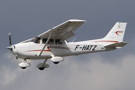
LAWRENCE COUNTY- Lawrence County has contracted with Eagleview to do aerial mapping for our GIS mapping program. They will do low-flying grid flights of the entire county over the next few days. If you feel there may be a true emergency, please call 911 to make a report.


